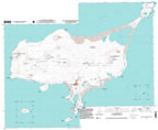
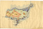
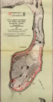
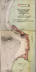
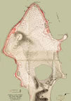
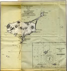
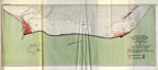
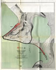
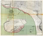
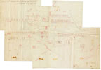
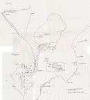
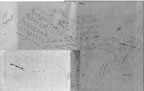
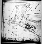
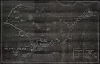
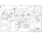
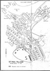
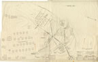
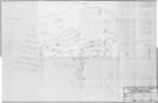
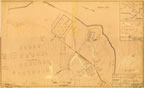
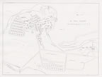
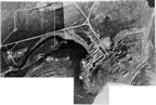
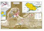
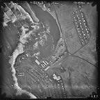
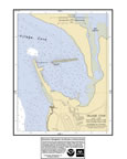
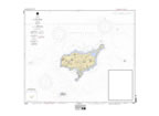
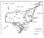
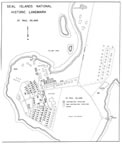
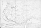
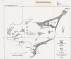
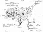
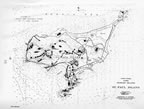
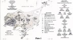
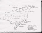
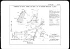
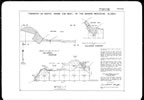
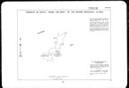
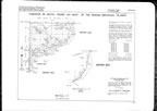
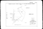
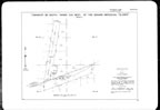
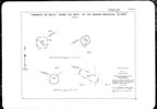
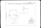
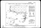
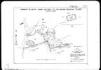
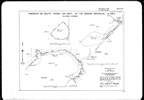
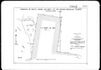
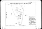
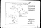
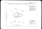

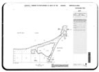
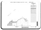
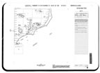
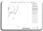
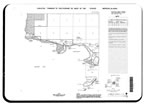
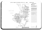
This section of the map gallery is comprised of maps the National Oceanic and Atmospheric Administration (NOAA), Pribilof Environmental Restoration Project Office has collected with a focus on St. Paul Island. This includes survey maps from the Bureau of Land Management (BLM), the U.S. Navy, and government agents overseeing the island’s sealing industry. Maps date from modern times back to the late 1800s. Many of the maps depict natural features and specific resources such as the island’s geology, vegetation, seal rookery locations, and bird nesting cliffs.
These maps have been collected over time form various sources including NOAA,
National Archive and Records Administration (NARA), U.S. Geological Survey
(USGS), U.S. Fish and Wildlife Service (USFWS), BLM, and public and private
research documents.
Through this collection a picture of St. Paul Island over the course of
a century can be drawn. The island’s landforms and environment and
the changing and evolving nature of its cityscape can be better understood.
|
|
|
|
|
|
|
|
|
|
|
|
|
|
|
|
|
|
|
|
|
|
|
|
|
|
|
|
|
|
|
|
|
|
|
|
|
|
|
|
|
|
|
|
|
|
|
|
|
|
|
|
|
|
|
|
|
|
|
|
|
|
|
|
|
|
|
|
|
|
|
|