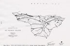
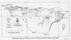
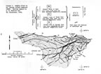
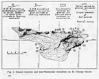
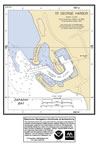
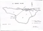
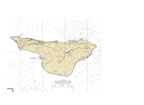
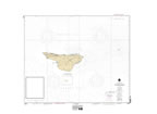
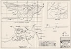
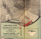
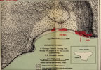
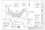
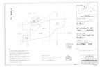
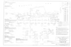
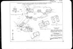
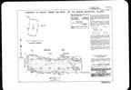
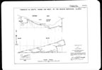
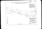
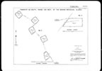
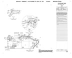
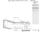
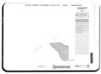
St. George Island Map Collection
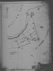
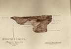
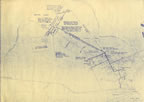
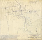
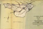
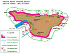
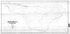
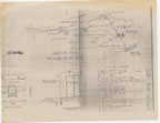
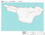
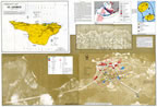
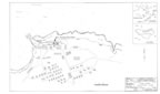
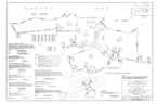
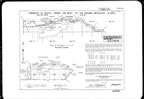
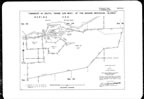
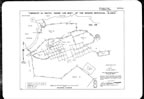
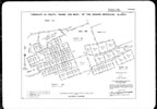
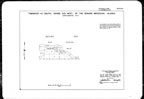
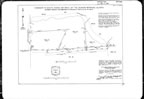
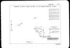
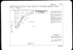
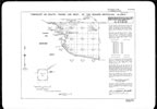
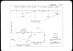
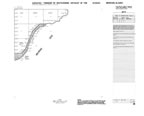
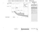
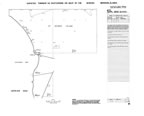
This section of the map gallery focuses on St. George Island. The gallery contains survey maps created by the Bureau of Land Management (BLM), the U.S. Navy, and government agents overseeing the island’s sealing industry. Maps date from modern times back to the late 1800s. Many of the maps depict natural features and specific resources such as the island’s geology, vegetation, seal rookery locations, and bird nesting cliffs.
Some of the many contributors to this collection include NOAA, National Archive and Records Administration (NARA), U.S. Geological Survey (USGS), U.S. Fish and Wildlife Service (USFWS), BLM, and other public and private sources.
Through this collection, a picture of St. George Island over the course of a century can be drawn. The island’s landforms and environment, and the changing and evolving nature of its cityscape can be better understood.
|
|
|
|
|
|
|
|
|
|
|
|
|
|
|
|
|
|
|
|
|
|
|
|
|
|
|
|
|
|
|
|
|
|
|
|
|
|
|
|
|
|
|
|
|
|
|
|
|
|
|
|
|
|
|
|
|
|
|