Bering Sea and North Pacific Regional Maps
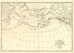
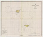
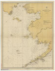
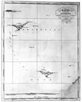
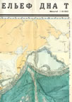
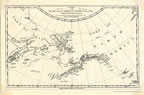
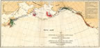
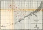
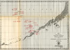
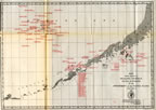
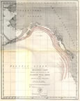
This section of the map gallery includes maps that the National Oceanic and Atmospheric Administration (NOAA) and the Pribilof Environmental Restoration Project Office have collected featuring St. Paul and St. George Islands and their location in the Bering Sea and Northern Pacific Ocean. Maps in this collection span more than three centuries, from a Captain James Cook 1778 map, to an 1852 Russian America atlas map, to modern day NOAA charts. The collection includes maps of the migratory patterns of northern fur seals; the locations of vessels involved in pelagic sealing; and the seizure locations of such vessels.
The maps have been gathered from various sources including NOAA, National Archive and Records Administration (NARA), and public and private documents. Through this collection, the evolving understanding of the true location of the Pribilof Islands in the world can be seen. The remoteness of these islands and the challenges of human and animal life in these environs can be explored.
|
|
|
|
|
|
|
|
|
|
|
|
|
|